













Using the Neuron Kernel Interface, a Reactor–AWS collaboration tackled the dynamic shapes, memory access patterns, and cache management that make real-time autoregressive diffusion hard—building techniques that generalize across models.


Three new papers from Amazon Bio Discovery address bottlenecks in AI-driven antibody engineering, from benchmarking binding predictors to experimentally validating de novo design.
New research indicates that AI agents learn compressible models of data, which don’t have enough space to enable memorization.

How the Verus "program verifier", which automatically checks code against a mathematical specification of its functionality, helps increase security assurance in software projects.

Ten years after we founded the Automated Reasoning Group, mathematical logic has moved from academic research into production services that secure millions of customer workloads — demonstrating that systems can be provably correct, not just probably correct.
Customer-obsessed science

Research areas













-
 October 1, 202610 min readAugmenting a network graph with agentic AI produces a “digital twin” that can help isolate network failures.
 -

-
August 21, 20269 min read
-
July 30, 20268 min read
-
July 29, 20266 min read


Featured news

The Build on Trainium program is a $110 million credit initiative supporting AI research at 30 universities including Stanford, UC Berkeley, UIUC, UCLA, CMU, and MIT, with a focus on Responsible AI.

The Antibody Developability Benchmark is powered by one of the most diverse antibody datasets in public literature, enabling transparent performance evaluation for AI-guided antibody design.

Challenge pushes teams to demonstrate measurable gains in secure-coding performance while building AI agents that advance real-world utility and reliability at scale.

Initiative will fund over 100 doctoral students researching machine learning, computer vision, and natural-language processing at nine universities.
-
SLT 20222022For on-device automatic speech recognition (ASR), quantization aware training (QAT) is ubiquitous to achieve the trade-off between model predictive performance and efficiency. Among existing QAT methods, one major drawback is that the quantization centroids have to be predetermined and fixed. To overcome this limitation, we introduce a regularization-free, “soft-to-hard” compression mechanism with self-adjustable
-
AACL 20222022Pre-trained language models (LMs) obtain state-of-the-art performance when adapted to text classification tasks. However, when using such models in real-world applications, efficiency considerations are paramount. In this paper, we study how different training procedures that adapt LMs to text classification perform, as we vary model and train set size. More specifically, we compare standard fine-tuning
-
AACL 20222022Task-oriented dialog systems deployed in real-world applications are often challenged by out-of-distribution queries. These systems should not only reliably detect utterances with unsupported intents (semantic shift), but also generalize to covariate shift (supported intents from unseen distributions). However, none of the existing benchmarks for open-world intent classification focus on the second aspect
-
ACM SIGSPATIAL Workshop on Analytics for Big Geospatial Data2022Accurate and rich representation of roads in a map is critical for safe and efficient navigation experience. Often, open source road data is incomplete and manually adding roads is labor intensive and consequently expensive. In this paper, we propose RING-Net, an approach for Road INference from GPS trajectories using a deep image segmentation Network. Previous work on road inference is either focused on
-
ACM SIGSPATIAL 20222022Classifying trip modalities, i.e. driving, walking, etc., from GPS trajectories is one of the fundamental tasks for urban mobility analytics. It can be used for efficient route planning, human activity recognition, and public transportation design where understanding the time and location of transitioning to different modalities may provide additional insights. Informally, given a GPS trajectory consisting
Collaborations
View allWhether you're a faculty member or student, there are number of ways you can engage with Amazon.
View all

Gretchen Ertl
The program offers unrestricted funds and other resources to support research at academic institutions and non-profit organizations in areas that align with our mission.
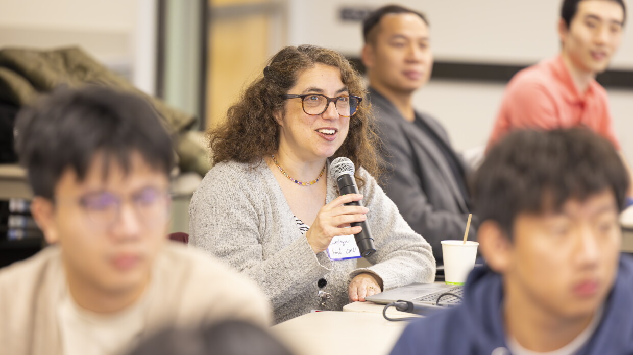
A global university competition to drive secure innovation in generative AI technology, which focuses on responsible AI and large language model coding security.

Credit: Wolfram Scheible
We partner with particular academic organizations across the world for deep and sustained collaborations in multiple research areas of mutual interest.
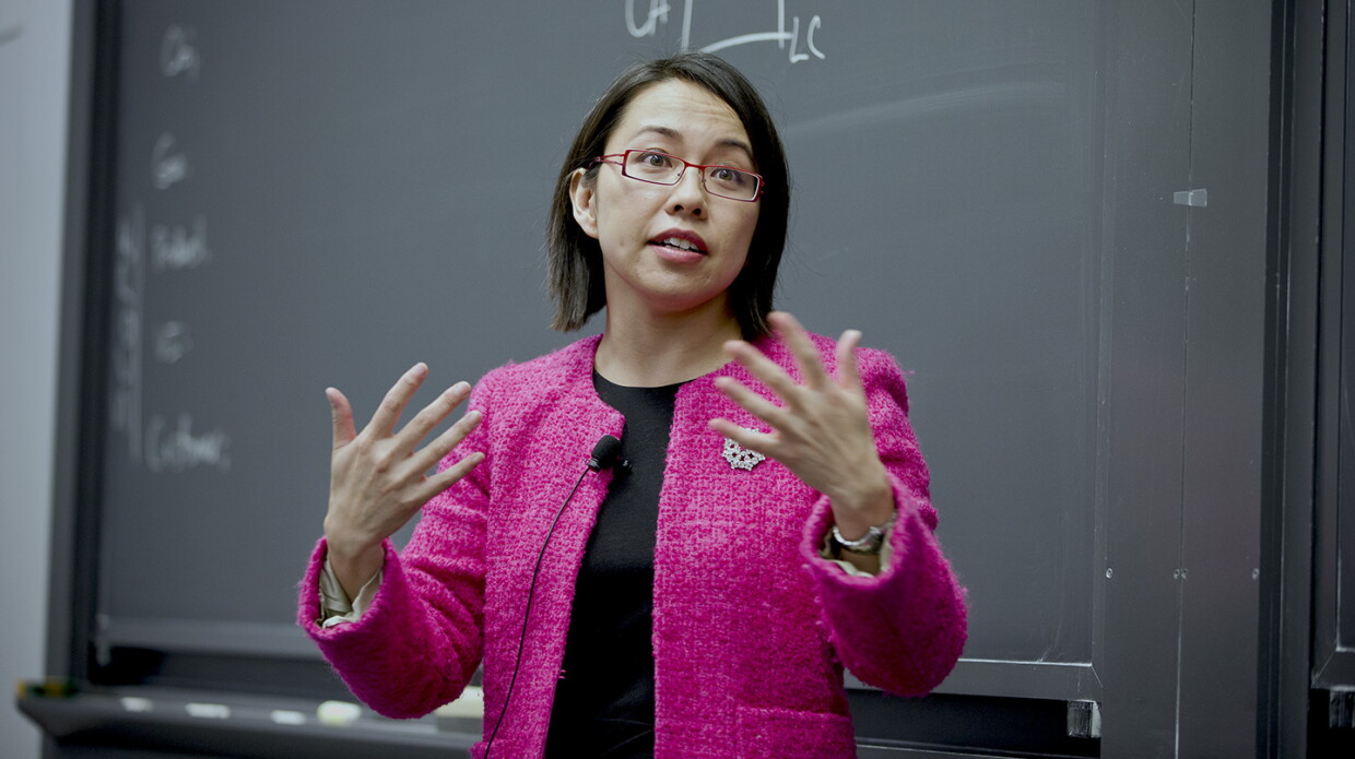
Courtesy of Pai-Ling Yin
We hire world-class academics to work on large-scale technical challenges, while they continue to teach and conduct research at their universities.